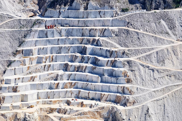
Overburden and bedrock mapping or profiling is an essential in engineering, geotechnical or quarrying. On 2013, there are 356 quarries operates throughout this country. On 2014, it is estimated about 7,091 million metric tons of rock aggregates reserved available at in Malaysia (Jabatan Mineral dan Geosains Malaysia 2014).
Locating the bedrock is an essential for foundation and construction planning, geothermal energy extraction, groundwater in hard rock, mining or quarry.
Geophysical technique can increases the accuracy of predicted excavation volumes or thickness and at the same time aiding in the determination of excavation and drilling sites.
Which Geophysical Method?
Electrical Resistivity Imaging (E.R.I) is a cost–effective non–destructive method for sand and gravel deposit assessment and quarry planning.
This technique can provide 2D or 3D spatial models of the subsurface throughout the full region of interest.
Hence, this complements intrusive sampling methods, which typically provide information only at discrete locations .
Seismic refraction survey also has good application in overburden and bedrock mapping or profiling.
This technique measures the velocity properties of the earth materials at the project area. The velocity properties are useful to estimate the rippability prior to excavation of the overburden.
This parameter is very crucial since it effecting the operation cost.
Seismic reflection survey is another geophysical method that suitable in delineate overburden and bedrock.
How These Geophysical Techniques Could Help?
Electrical Resistivity Imaging (E.R.I) can profile the thickness of the overburden and the depth of the bedrock trough the different electrical properties of these layers.
From here, you can have clearer image of the overburden and bedrock at the project area. Furthermore, the depth, thickness and continuity of the layers can be easily extracted from the E.R.I result.
Meanwhile, seismic refraction techniques also can image the thickness of the overburden and depth of the bedrock regarding their velocity properties.
Each type of rock or earth materials have different velocities. In addition, from these velocities, geophysicist can estimate the rippability of the earth materials at the project area.
In overburden and bedrock mapping, depth and thickness are the crucial parameter need for the next planning or action.
Seismic Reflection technique could provide all of this information. Common midpoint (CMP) profiling is the widely used seismic reflection data acquisition. It improves signal quality.
After undergo several processing step, a stacked seismic section is produced. The subsurface features can be directly interpreted from this section.
